Photos of an indigenous township in the Pingtung mountains…
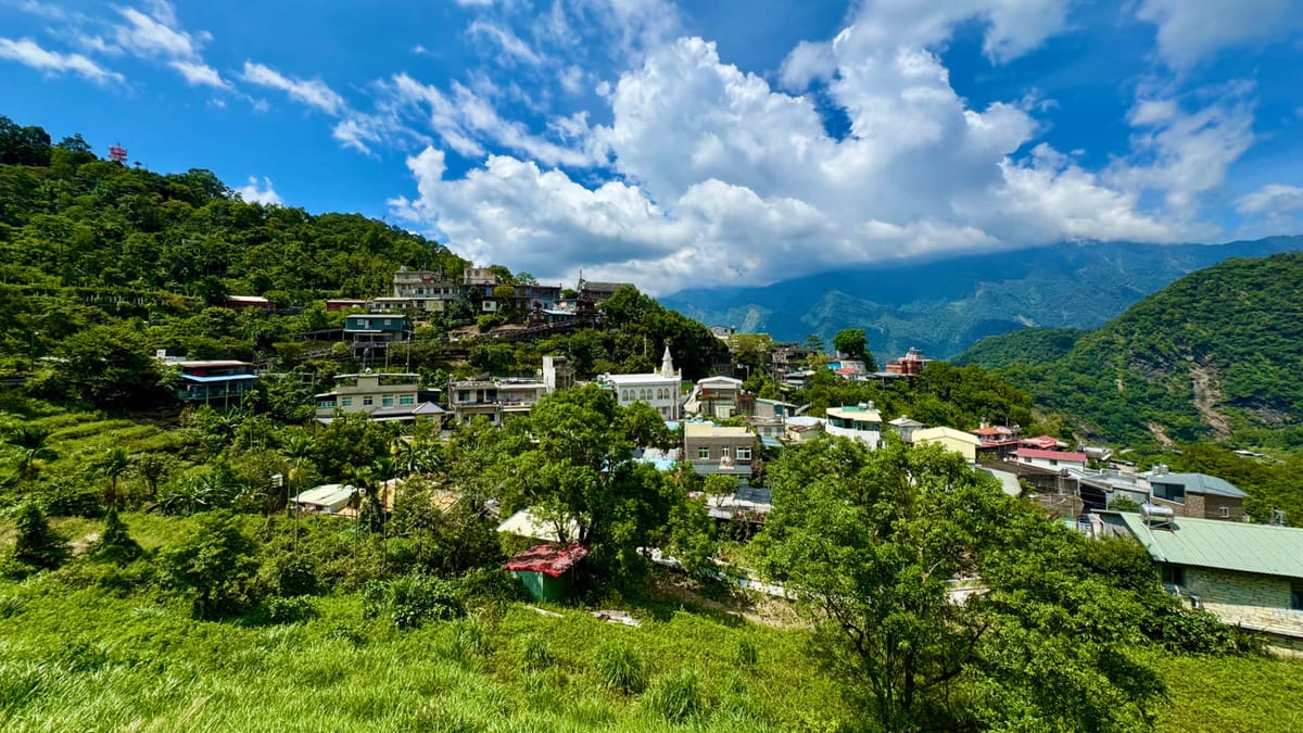
Wutai Township. Photo: Zhen-Kang.
Last Friday, I joined a friend for a return motorbike ride into the Pingtung mountains. This was my third time visiting Wutai Township (霧臺鄉), population 3,300.
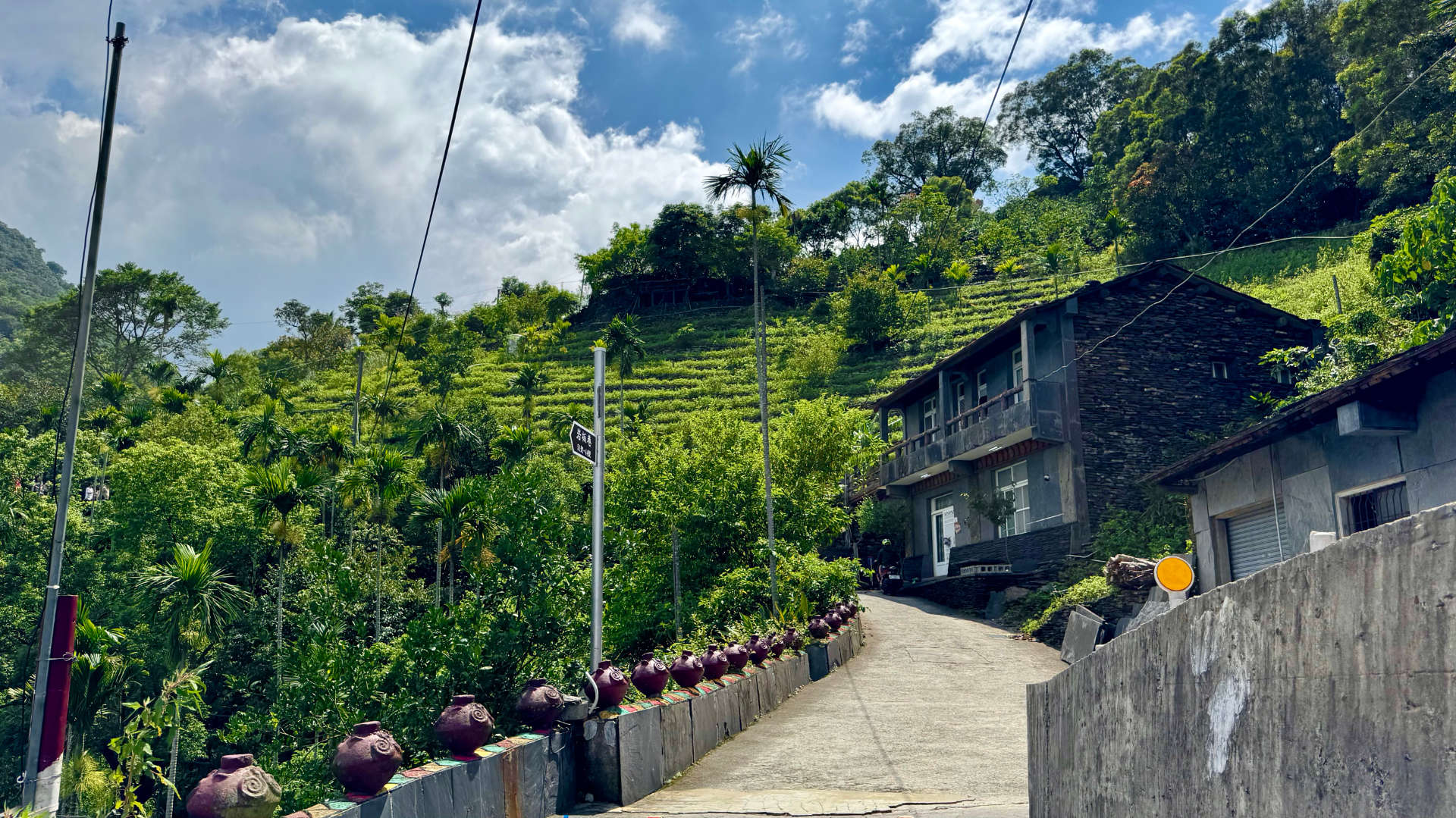
It’s a special place where betel nut trees, coffee farms, restaurants, and B&Bs all hug the hillsides.
I love it.
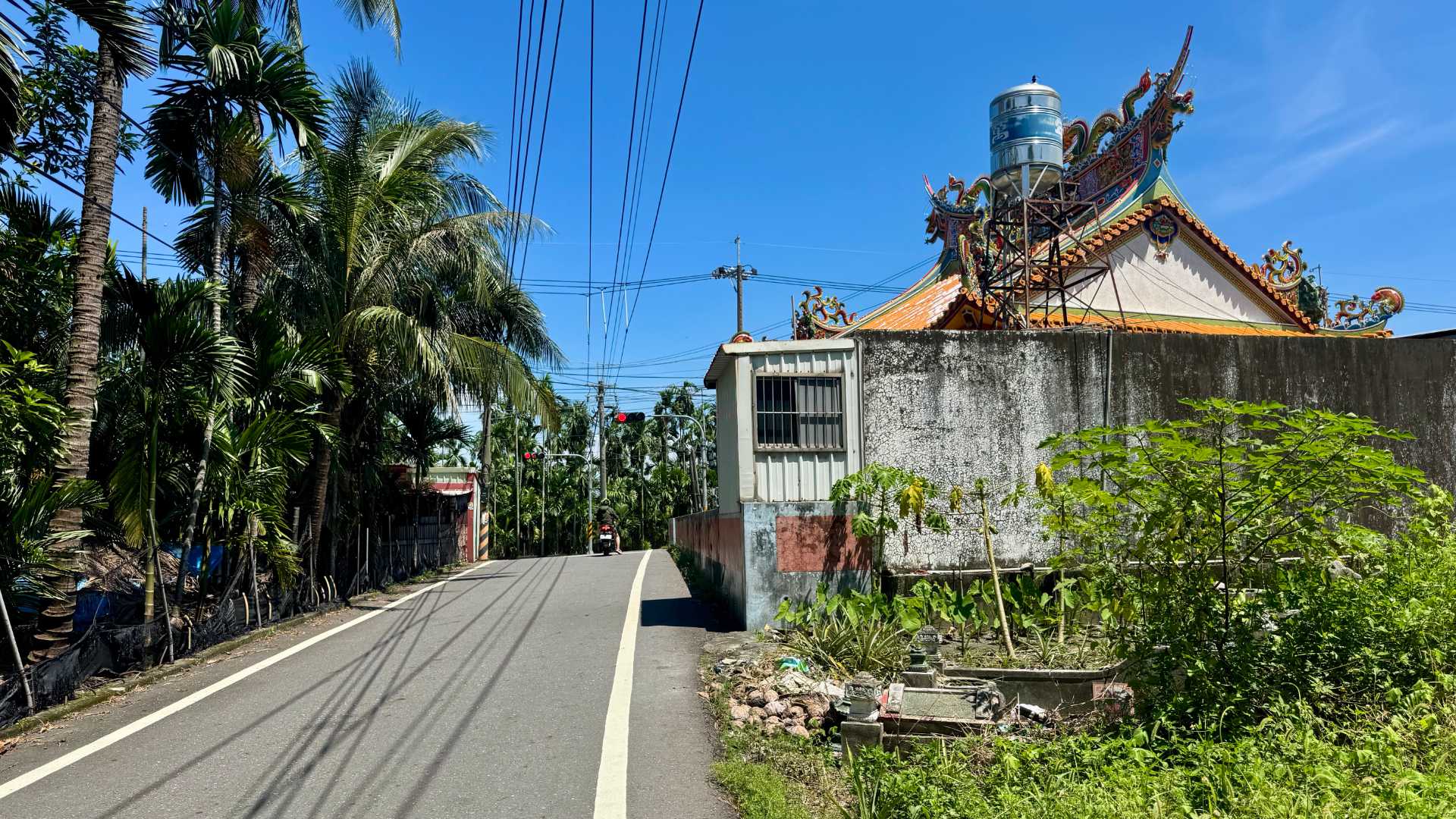
But because it’s a mountainous township, Wutai’s at high risk of damage from earthquakes, flooding, and typhoons. There’s only one access road, and visitors need to register on the way in. We provided our names, ID and phone numbers, license plates, and dates of birth (in Taiwanese date format).
As is typical for me when filling out Chinese-language forms, I mangled my first attempt.
Back in 2023, on my first trip to Wutai, an officer at the checkpoint doubted my Alien Residence Card was authentic. (My less-common visa status means my card is yellow, instead of the usual blue.) But I had no issues this time around.
Wutai’s mainly inhabited by the Rukai people, one of 16 officially-recognized indigenous groups in Taiwan.
Indigenous Taiwanese and New Zealand Māori share a common ancestor language, and 5,000 years later a few words are still similar (such as maca/mata for eye, lima/rima for five, and t-ama/tama for son). So when I was reading Rukai signage, which also uses the Latin alphabet, I found many the words felt like Te Reo Māori—in terms of rhythm and the use of short syllables with many vowels.
I’d planned to write about Wutai after making a more researched trip with my proper camera. But after reviewing my casual phone pics, I decided they’re good enough to convey the vibe.
It’s a remote place that’s hard for tourists to access. But if you’re in southern Taiwan and you have a scooter, I highly recommend it.
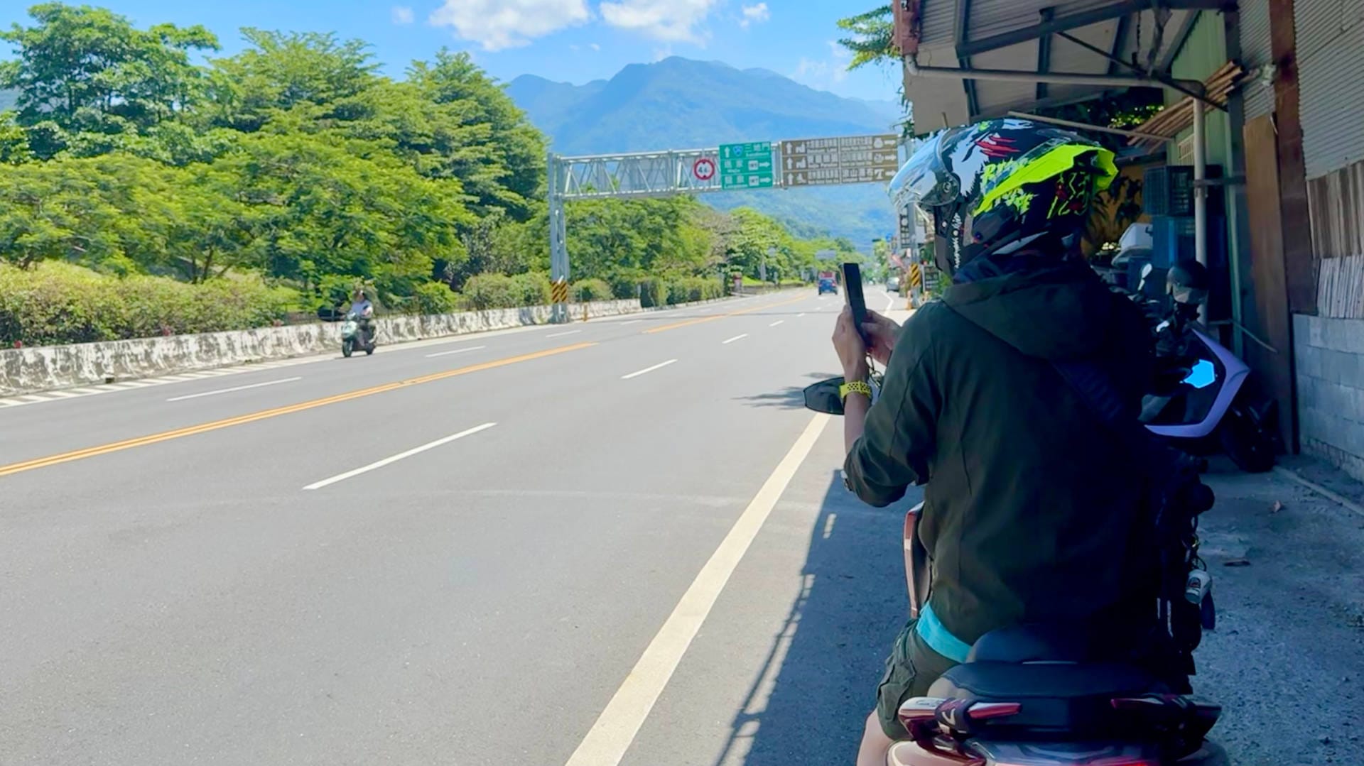
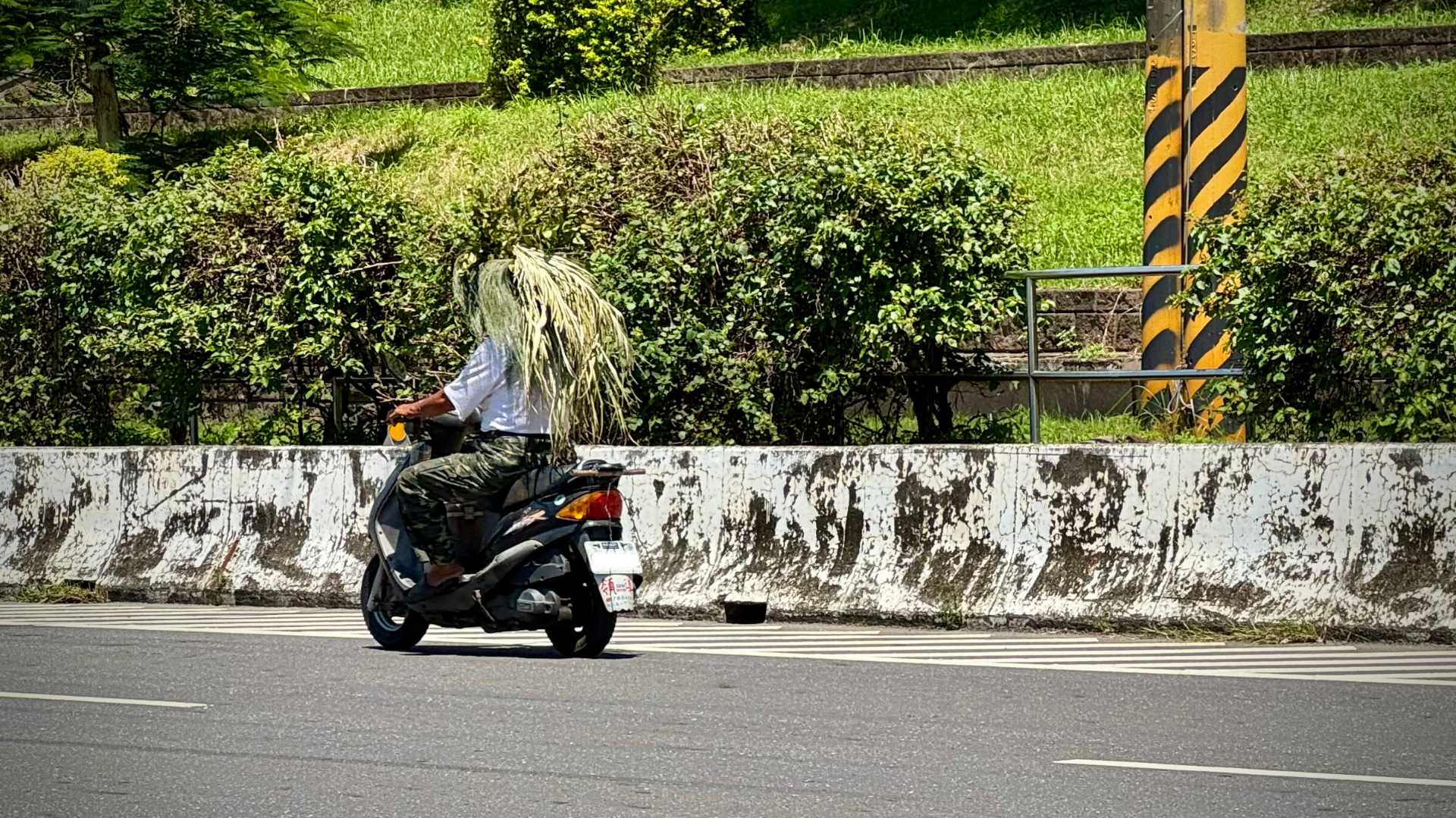
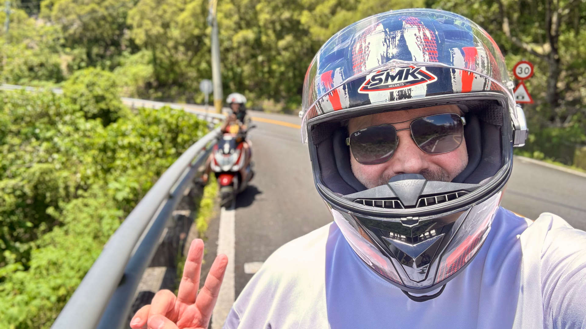
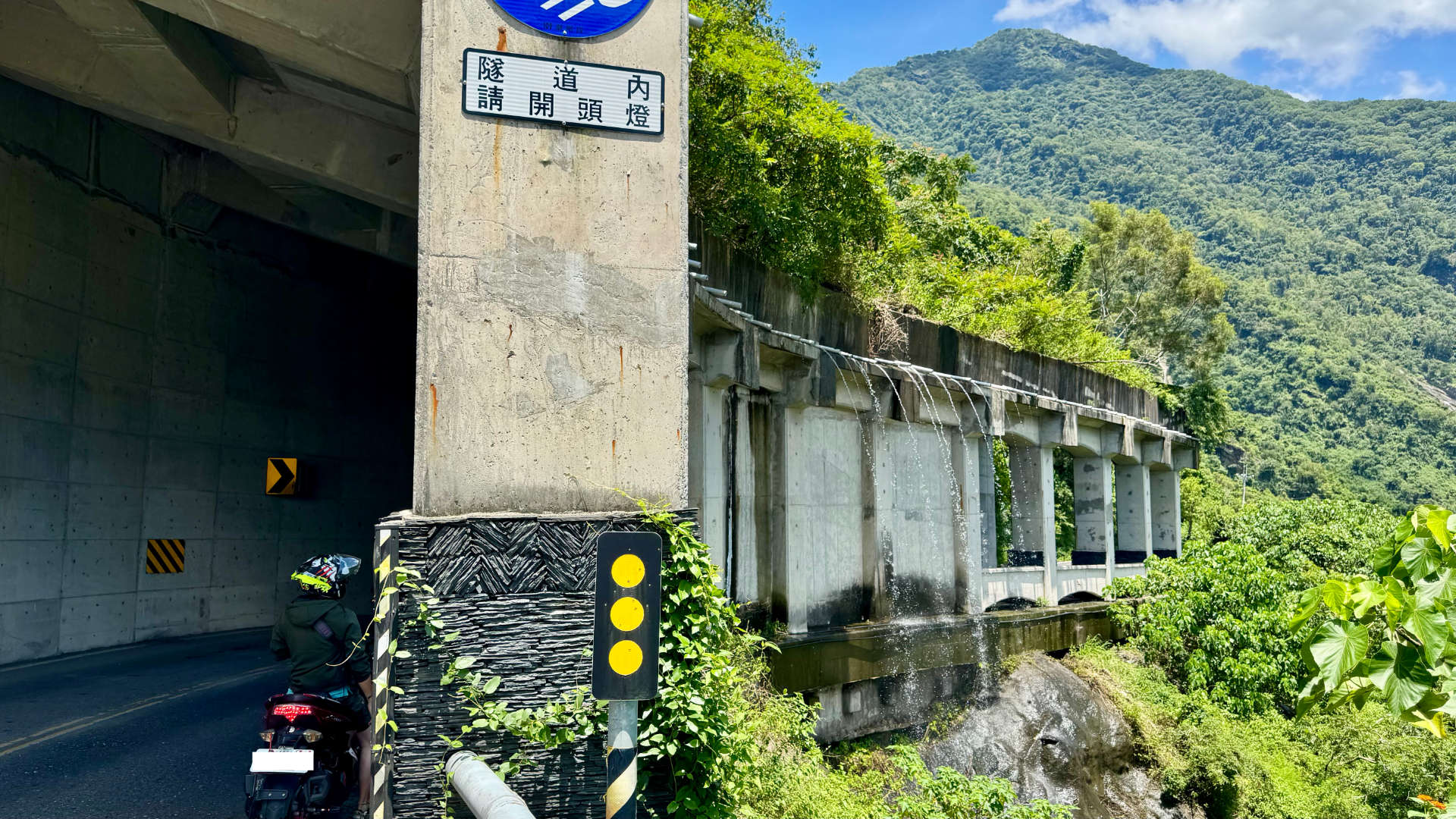
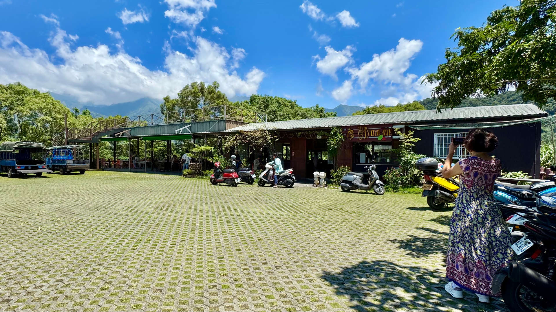
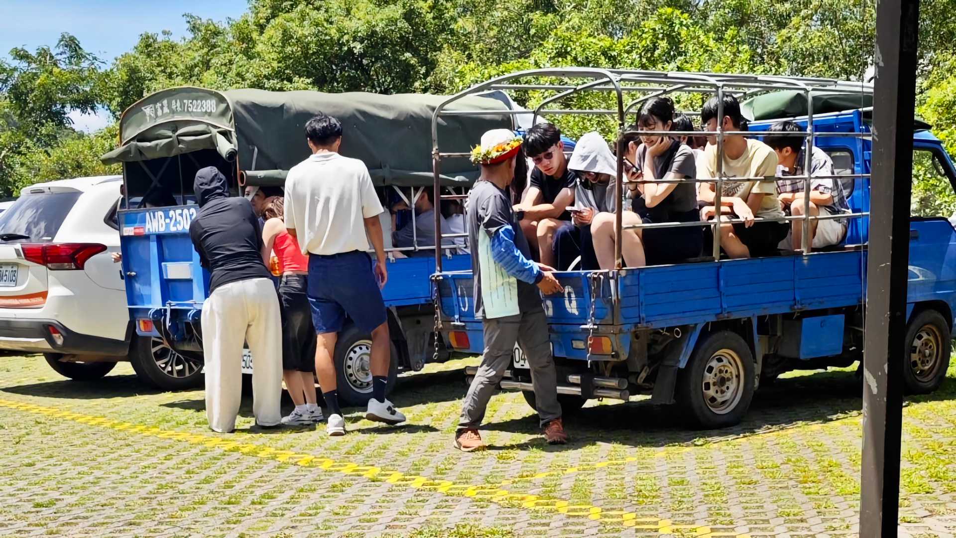
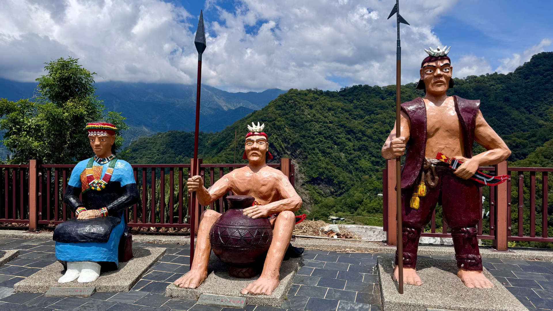
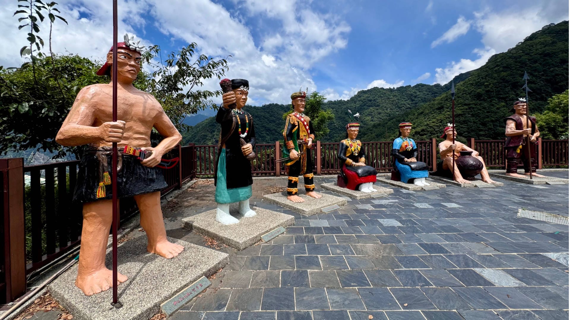
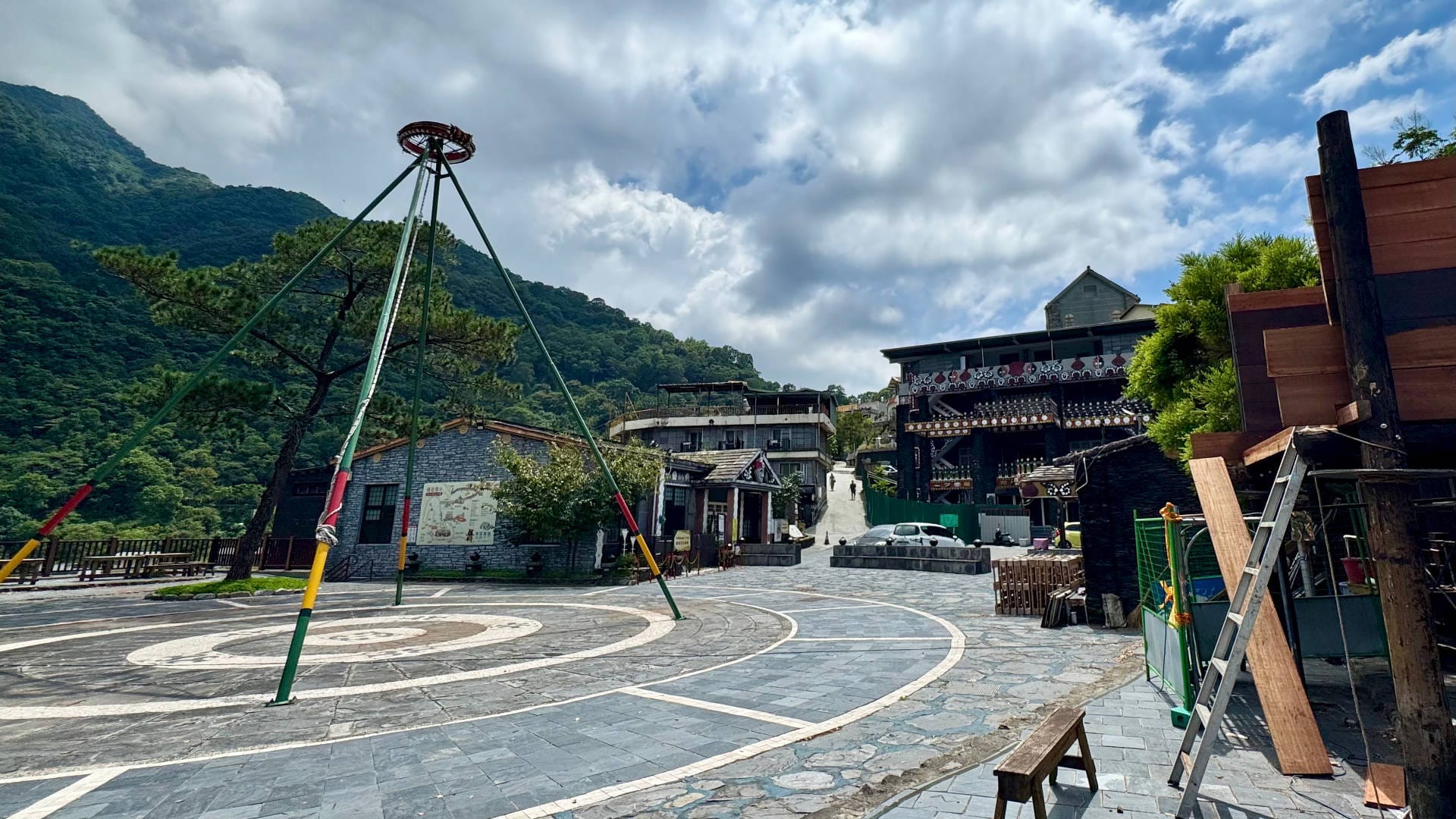
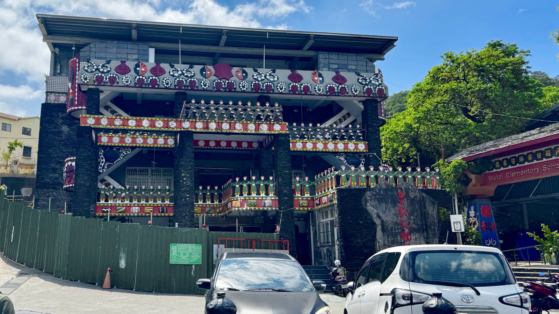
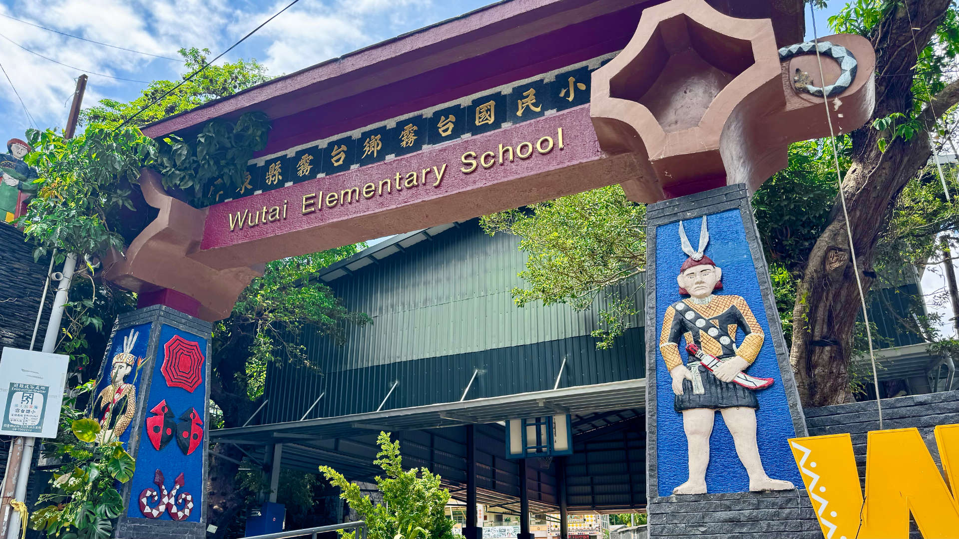
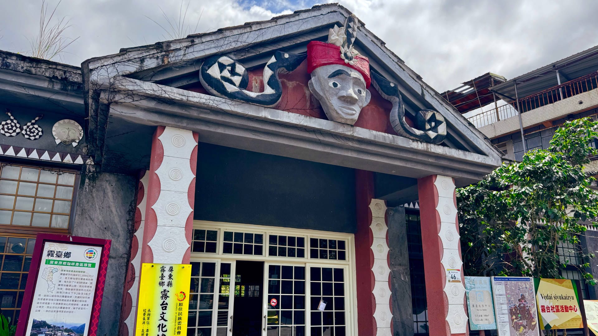
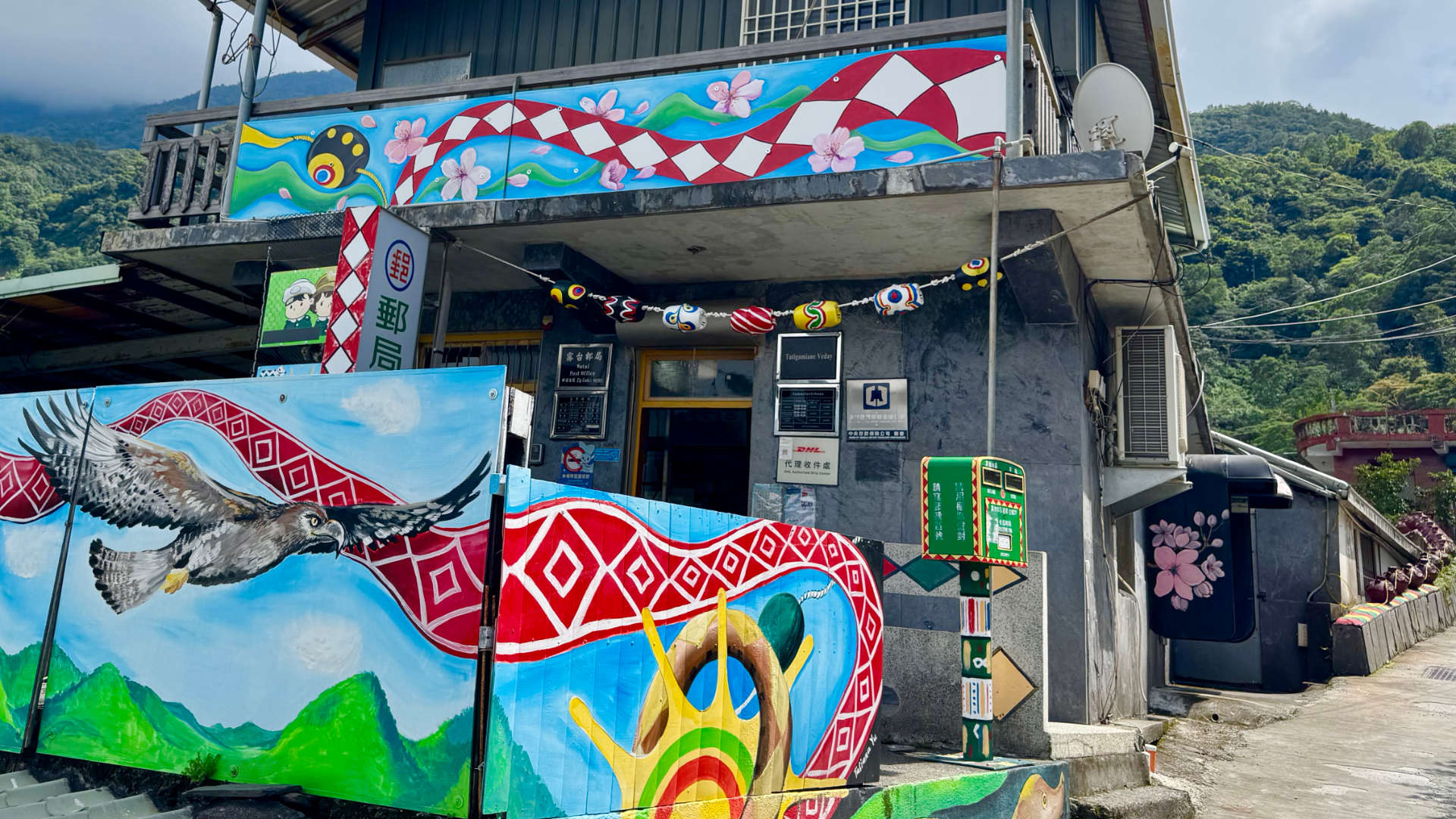
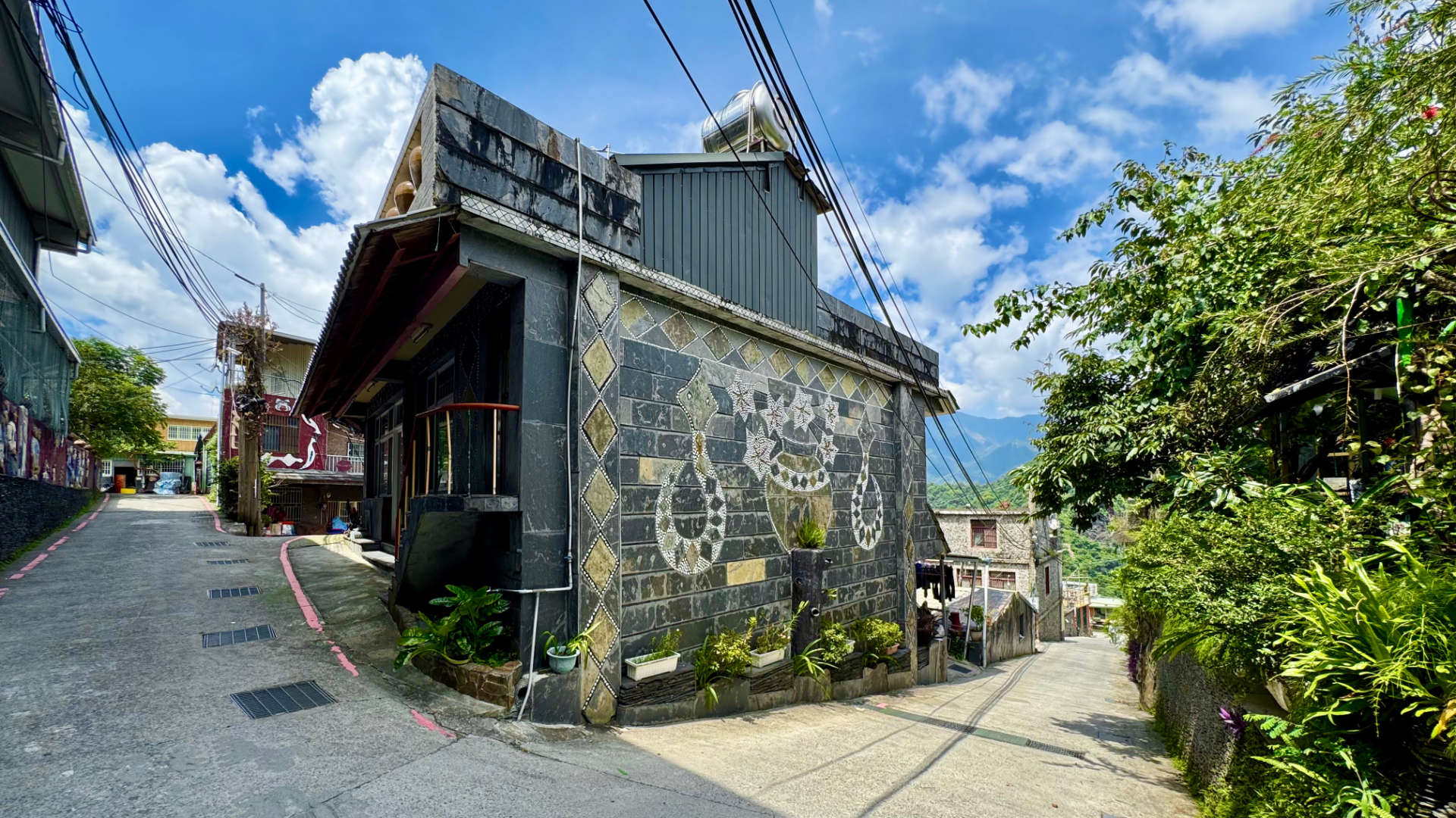
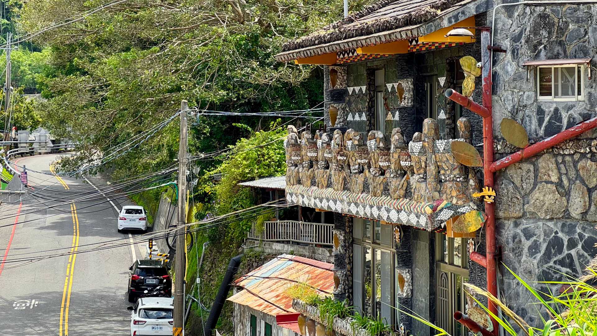
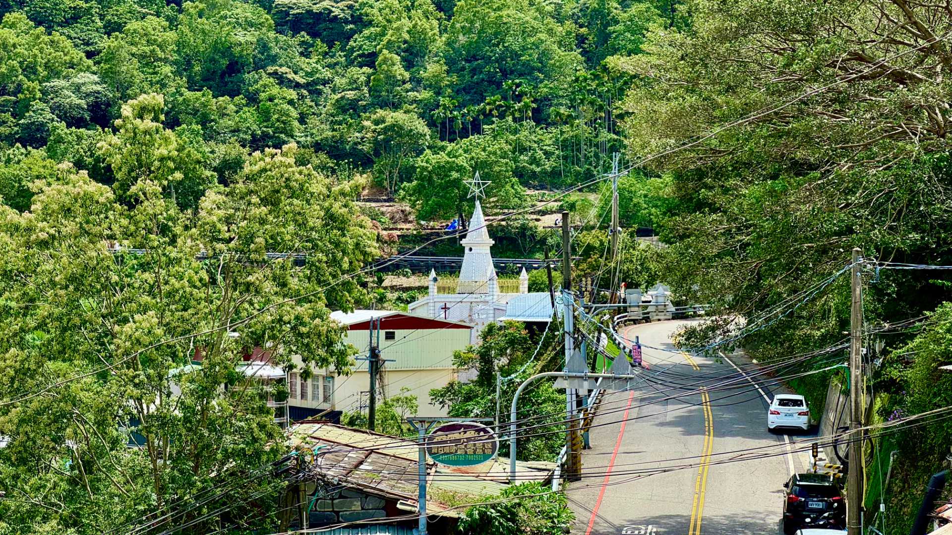
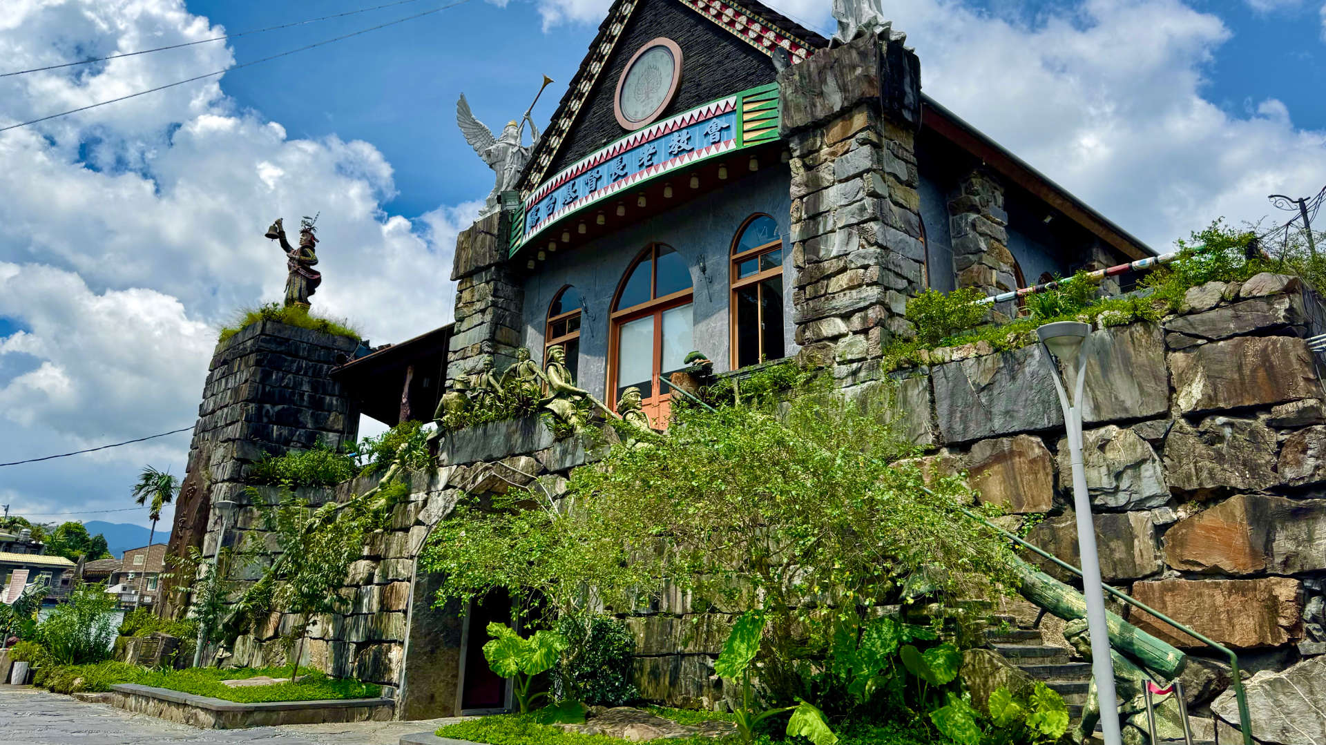
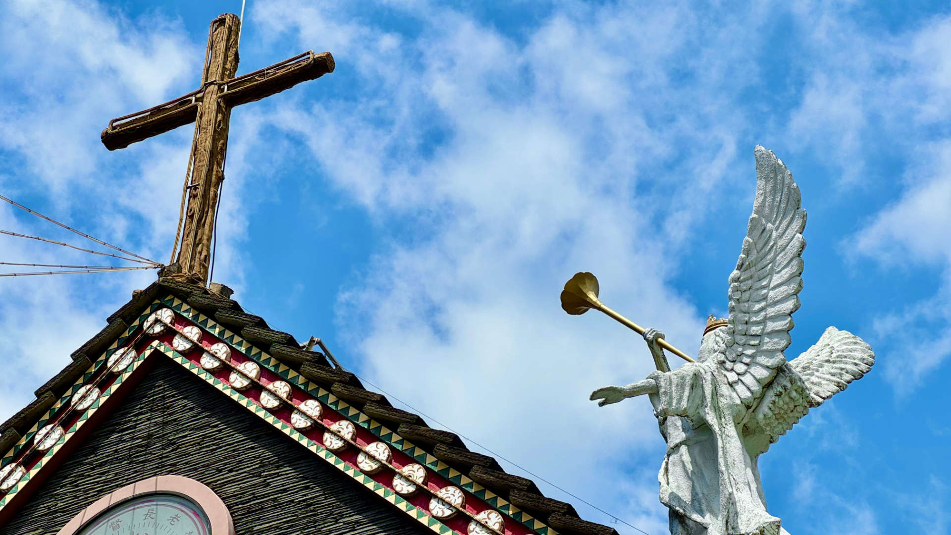
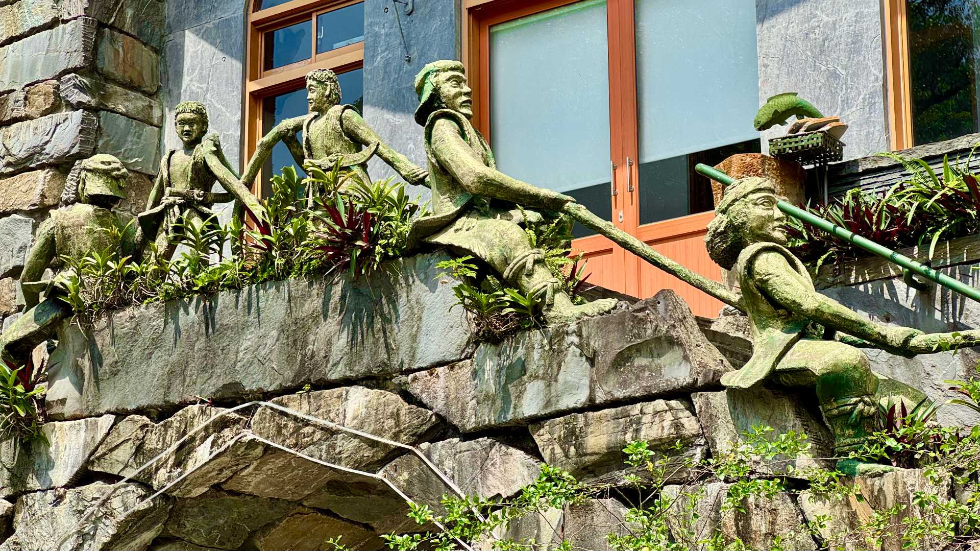
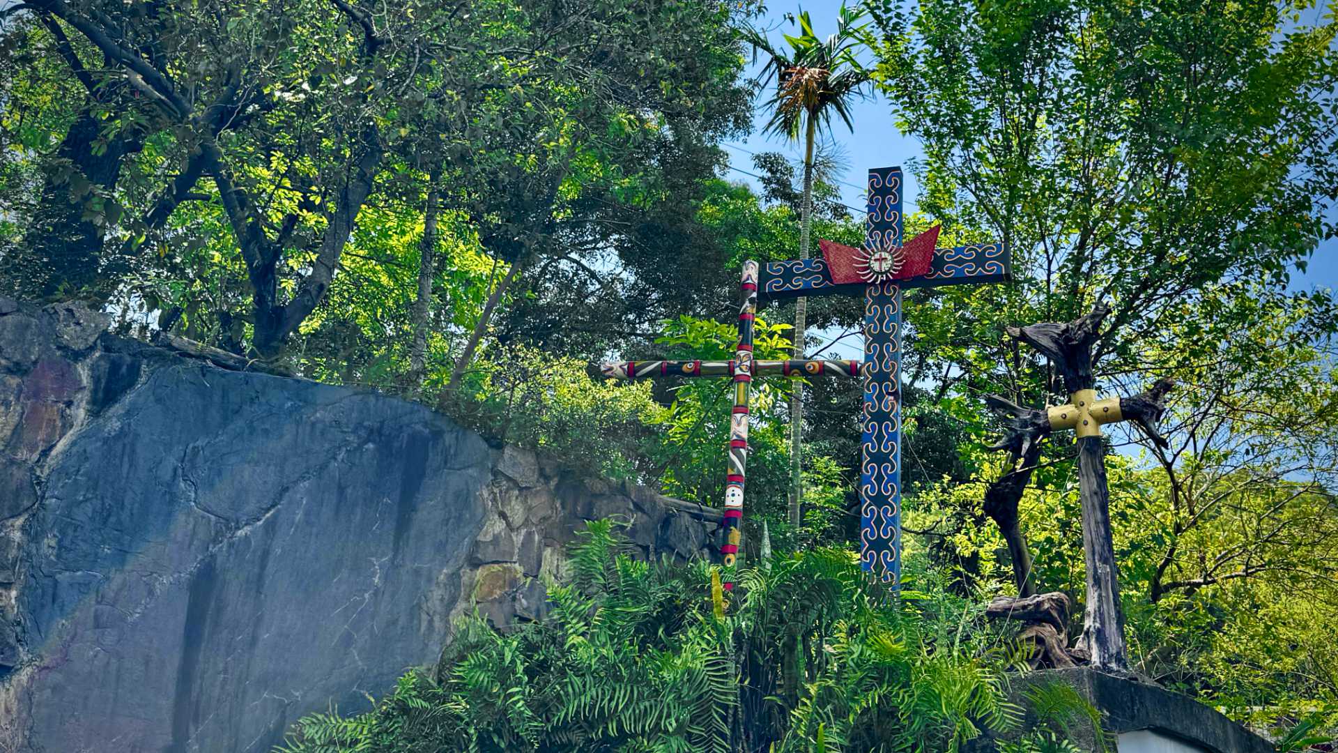
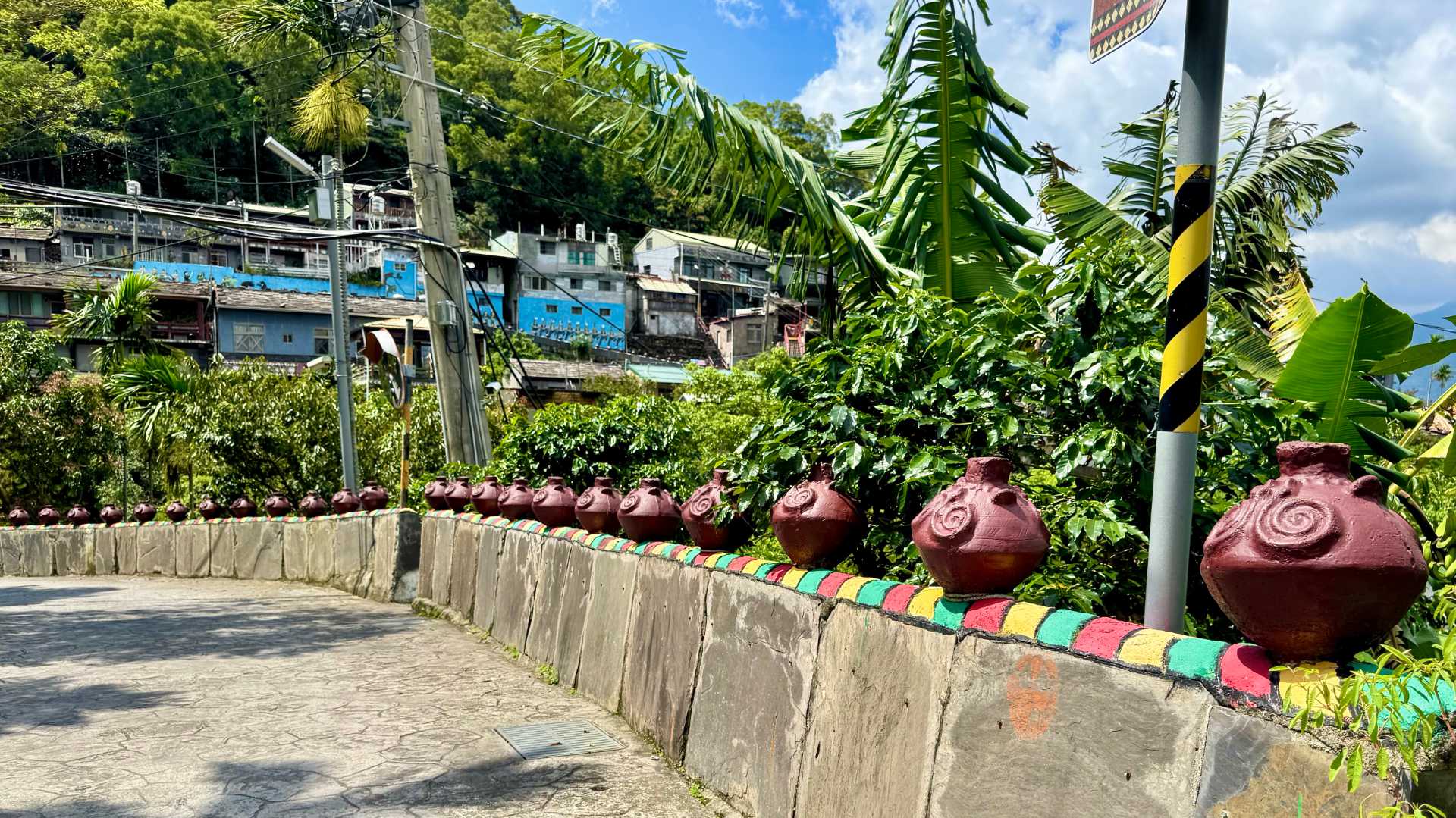
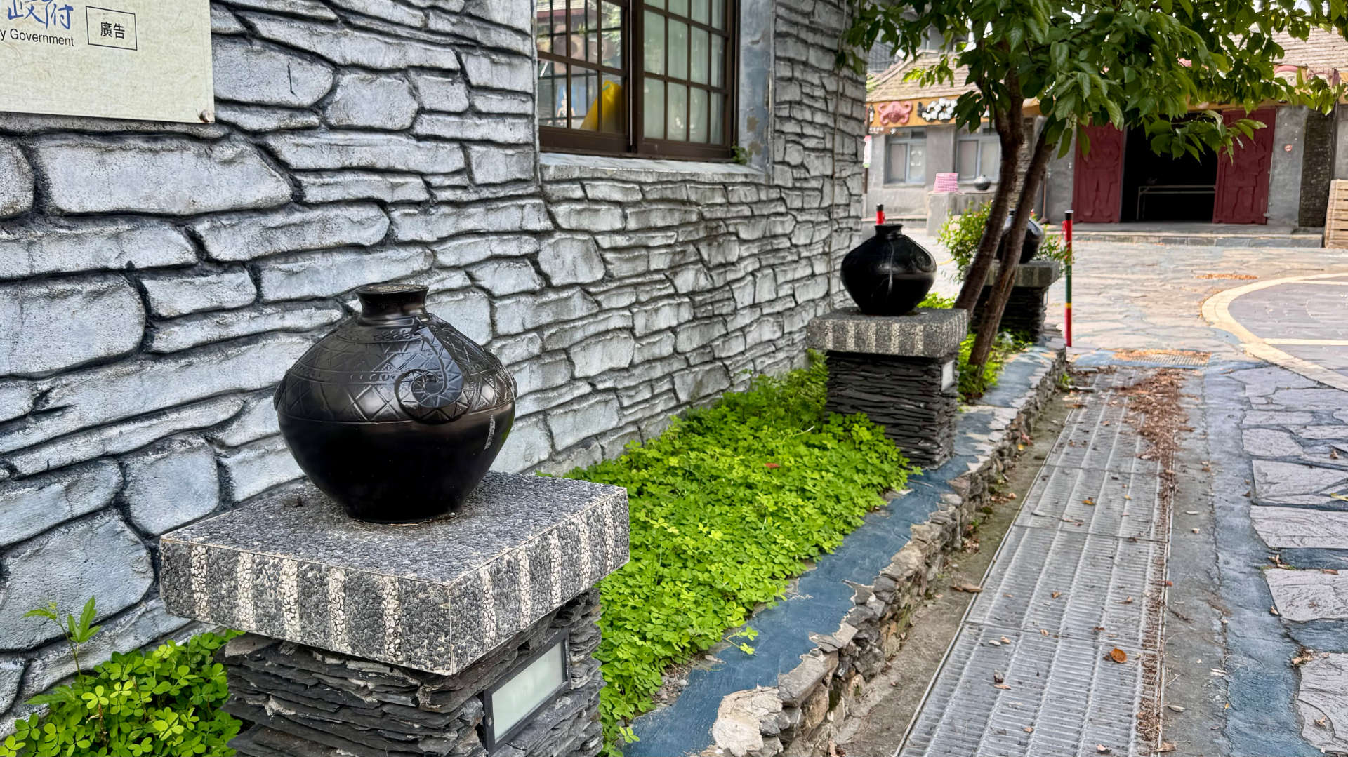
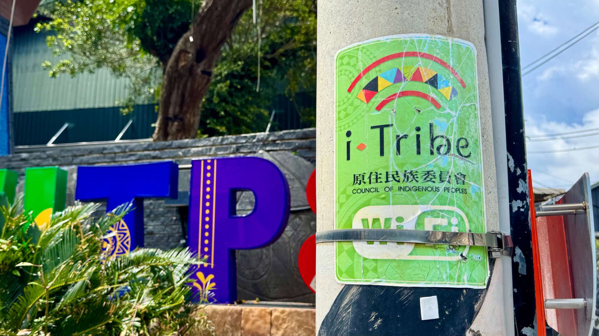
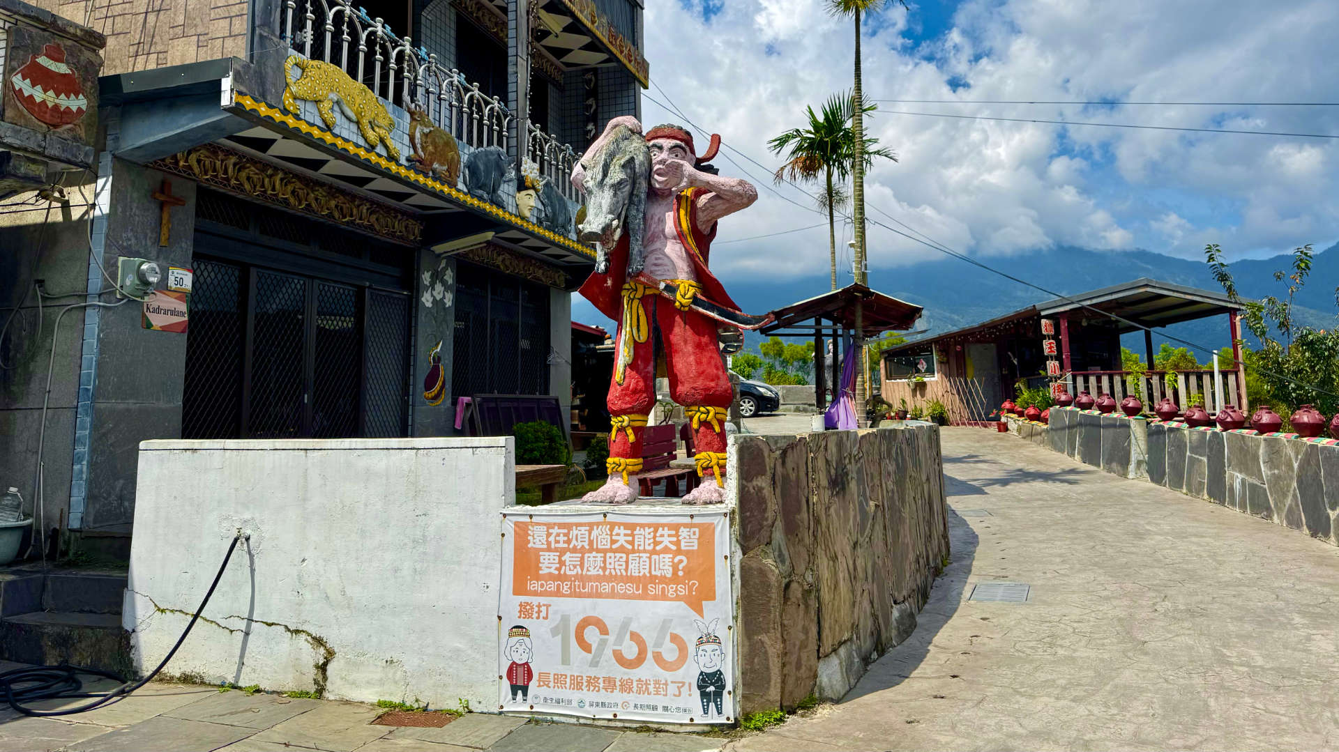
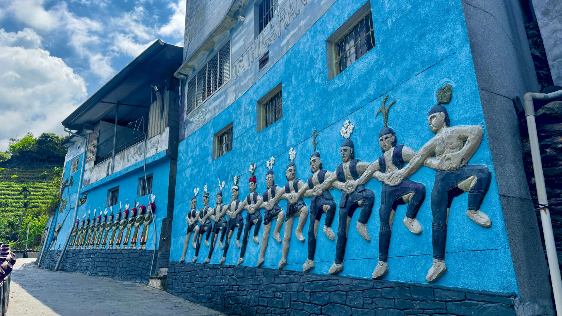
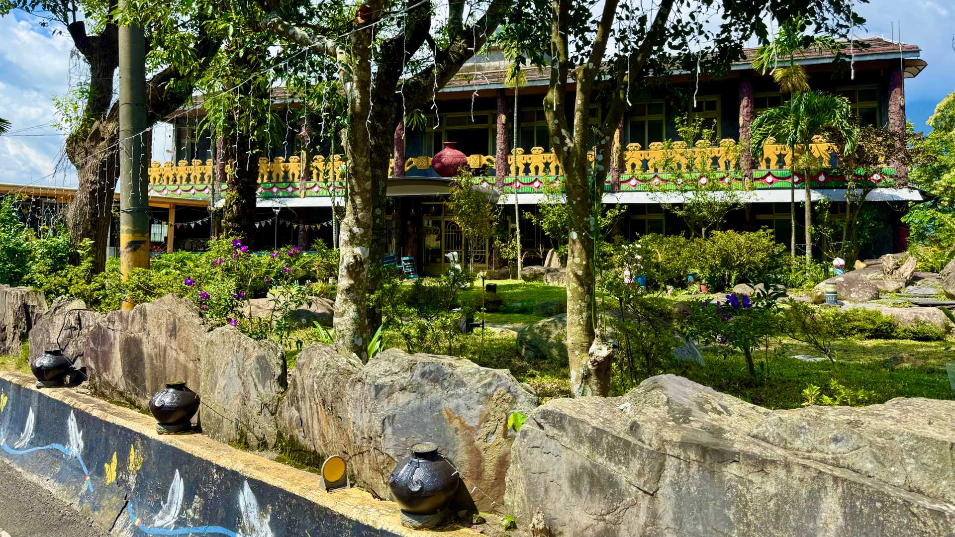
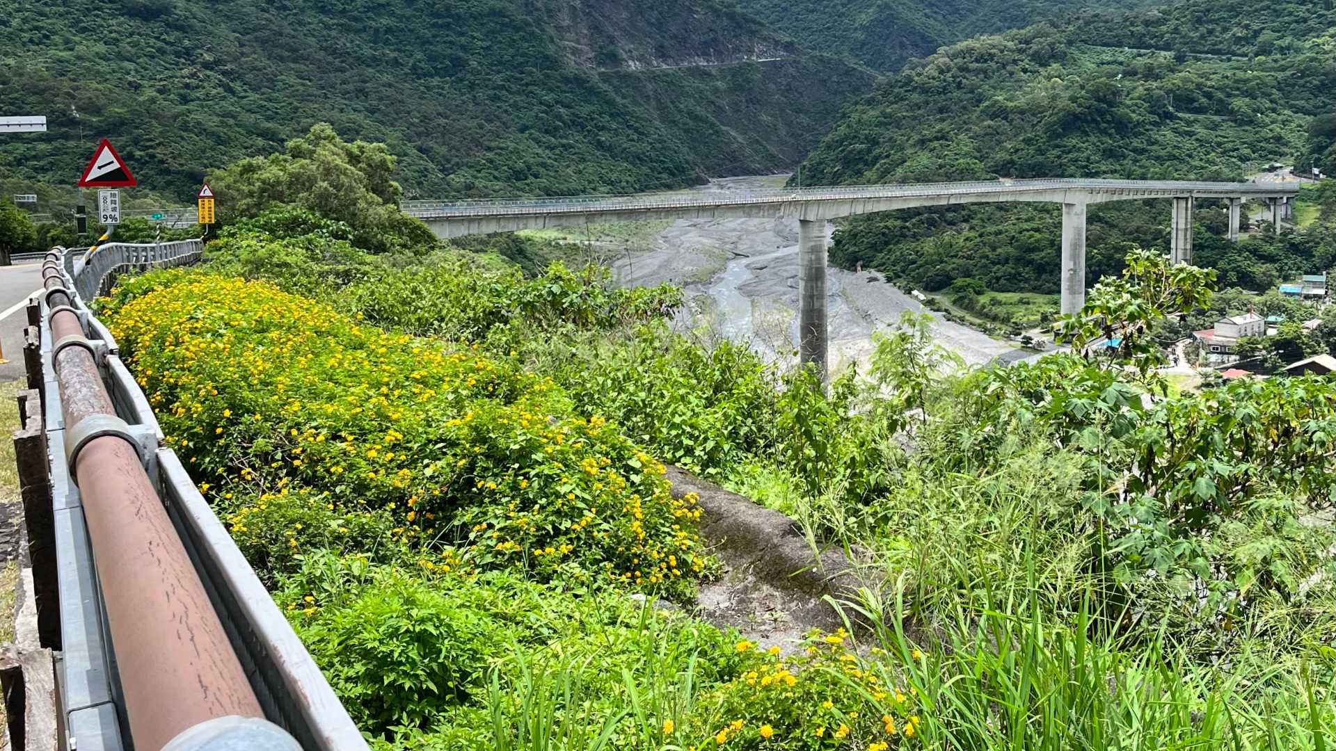
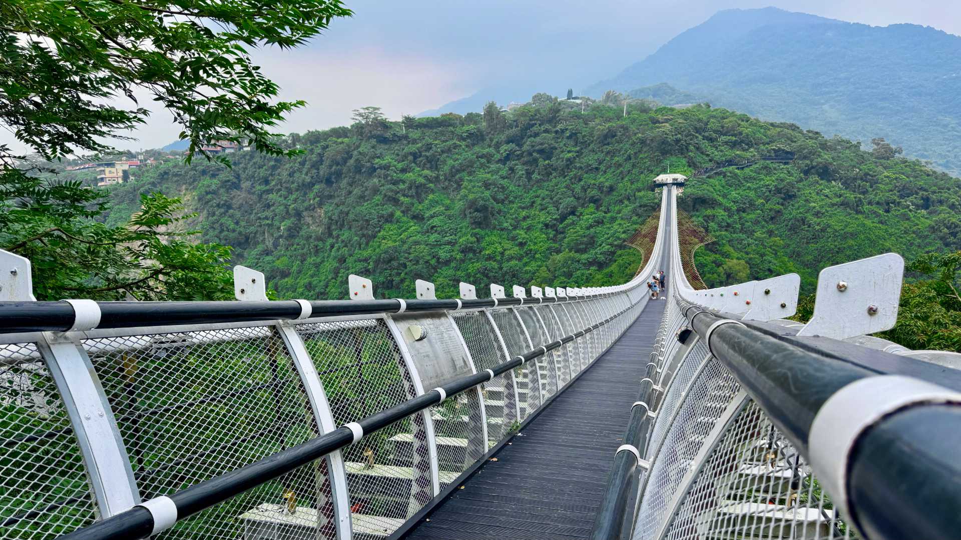
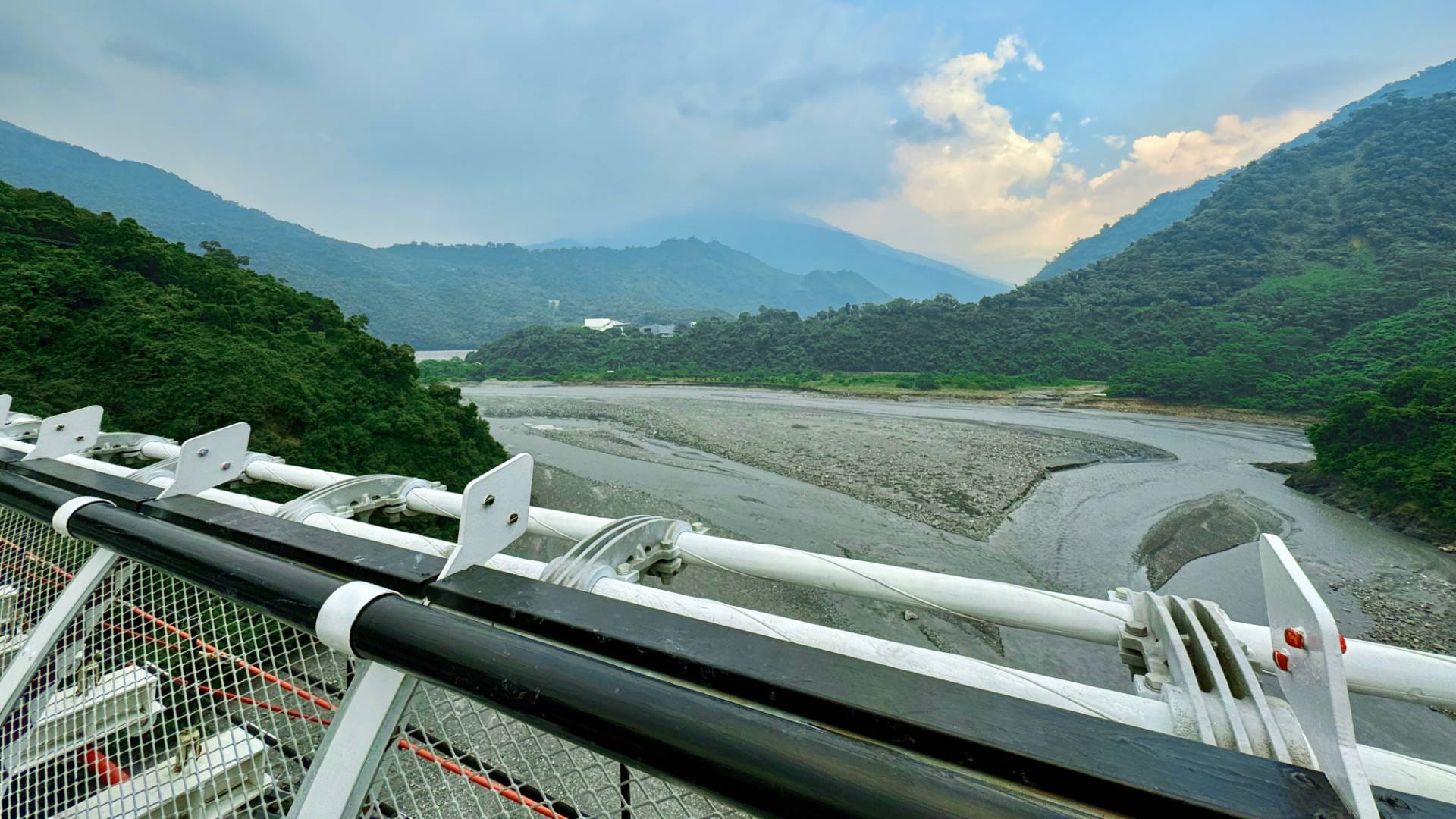
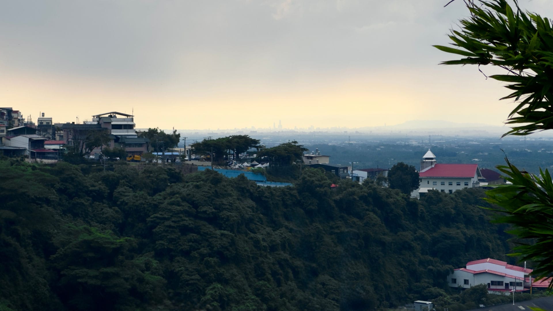
On the way to Wutai, riding through Pingtung County, we mostly stuck to the back roads. It was hot so I’d hang back under the shade whenever we approached a red light.Getting closer to the mountains, we stopped for water and saw this guy—in the far lane—with a helmet literally made of plants……Here’s a clearer shot.Soon we were in the mountains. (My helmet’s much more conventional.)There were a few large waterfalls visible in the distance, and smaller ones up close.We had lunch at Wutai Mo Kai Cafe (霧台摩凱咖啡). I’ve had excellent locally-grown coffee here before, but this time I was sweating enough already so had lemon and watermelon juice instead. A group of students were eating in the shade when we arrived, but soon they bundled into the back of the two blue trucks……and drove off with maybe 10 to 15 people on the back of each one. Something I’d never seen before in Taiwan. Photo: Te-Yung Lee.After lunch, we rode uphill for a look around the village. There were seven of these larger-than-life statues around the edge of Rukai Cultural Square / Tribe Plaza.Here’s a wider shot. Some of their names (like Ti Pauku, on the right) resembled Te Reo Māori.Rukai Cultural Square / Tribe Plaza had this central ceremonial structure in the middle, with indigenous art on the public buildings beyond.This is Wutai Rukai Culture Museum, currently closed for renovations.There were kids playing on a covered basketball court just inside the gate of Wutai Elementary School. Despite being open to the surrounding air, it felt about 10 ºC cooler under the roof.This is the Wutai Cultural Health Center (if Google Translate is correct).Here’s the post office. Note the local patterns on the otherwise-standard green Chunghwa Post mailbox.Some private houses.Wu Tai B&B.A white star atop Wutai Seventh Day Adventist Church.Further uphill, Wutai Presbyterian Church.The church cross.The church entrance.Across the street, a cross or three.The street with the Presbyterian Church is called Slate Alley.We also saw these clay pots elsewhere in the township.There was free Wi-Fi too. The i-Tribe service provides free outdoor Wi-Fi to indigenous and remote communities across Taiwan.A statue on Slate Alley.Note the tiered hillside beyond this building.About here we encountered a large domestic tour group walking down the hill. It took a couple of minutes for them all to pass, before we could continue to the end of the road.Looking back, we could see the Presbyterian Church (center top), with the Seventh-day Adventist Church below it (in white).On our way out of town, we stopped for roadworks outside Salrabu B&B. I later looked it up online and saw that, when its application was approved in 2003, it was only the second legal homestay in Pingtung County.Between Wutai and Sandimen Townships, we rode across the 654-meter-long Guchuan Bridge (谷川大橋). Its central pier is 99 meters tall—around the height of a 30-story building—making it the highest bridge pier in Taiwan.Near the foot of the moutain range we stopped here, for a walk across the Shan-Chuan Suspension Bridge (山川琉璃吊橋). Admission is usually up to NT$50 (NZ$2.50) per person, but we were inexplicably waved through without a ticket. The bridge is 262 meters long, with an average height of 45 meters from the riverbed. It features 32 metal panels etched with tribal stories, but they were all in Chinese without strong enough contrast for Google Translate to read them.From the middle of the bridge we could look back towards the mountains. A thunderstorm was rolling in.From the far side, we could just make out the skyscrapers of Kaohsiung, 40 km away. As excellent as Wutai absolutely is, it felt good to be heading home.